Sunday 10/20/2013
 |
| After a week in Chattanooga, TN., we headed out, but first we had to go through Chattanooga to catch I-59 South. |
 |
| Our campground in Chattanooga was just off I-75 just north of the Georgia border. We went back north on 1-75 to I-24 through the city. |
 |
| Check out these homes on the edge of the mountain. I think this is called Lookout Mountain, which we never got a chance to check out while in Chattanooga. Maybe next time! |
 |
| I-24 takes you through the city and along the Tennessee River. |
 |
| After leaving TN, I-59 takes you through Georgia's NW corner of the state. |
 |
| A few miles down the road, we entered into Alabama. Getting closer to my Nana kid fix! |
 |
| At Gadsden, AL., we left I-59and headed south on Hwy.77. This Hwy. took us past Neely Henry Lake. |
 |
| This lake is a reservoir and formed by damming the Coosa River. The lake has a water surface area of 11,200 acres and 339 miles of shoreline. Birmingham is SW an hour away. |
 |
| Most of Hwy. 77 is 2 lane, but there was an occasional 4 divided lane highway. |
 |
| Hwy. 77 turned into Hwy 21 and bordered the Talladega National Forest. At Sylacauga we turned east on Hwy 280. |
 |
| In Alexander City we turned south on Hwy 63 for 4 miles to Hwy 128 to Wind Creek State Park. |
 |
| The next day we took a day trip back north to Cheaha State Park. This state park has a campground, motel and restaurant. The drive was 62 miles to this park. |
 |
| We came to see the highest point in Alabama at 2407 ft. |
 |
| It cost $3 per adult to get in the park. This is the tower to get the high views. |
 |
| It was a cloudy day, so the views were not real clear. |
 |
| Thank goodness I have a tall husband that could take these pictures. |
 |
| There were 62 stairs to climb to the top of the tower. Joe and I both must be out of shape again, because those 62 stairs were a lot of work. |
 |
| On the way out of the park we stopped at the restaurant because I saw another viewing spot. |
 |
| View of Talladega National Forest below. |
 |
| The restaurant has a really nice patio with great views. If you didn't bring your lunch, this would be a great place for lunch with the best seats in the area. |
 |
| Once again, we were too early for the fall colors. |
 |
| We headed back down the windy mountain road of Alabama. |
 |
| Once back to Hwy. 281, we turned north for a few miles, and came to another lookout stop. |
 |
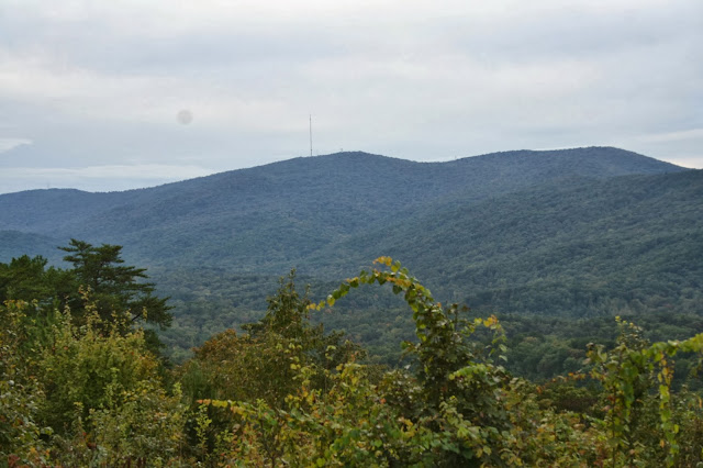
| If you can see the tower on the top of the mountain, that is the highest point in Alabama. |
 |
| At Hwy 24 we turned east, than south to do a loop drive back home. The total drive was 140 miles. A bit longer than we thought it would be. |
 |
| On our walk we found a fishing pier and cafe/ boat rental store. ( kayak and paddle boats). |
 |
| Views from the fishing pier. |
 |
| This picture makes the water look bluer than it really is. |
 |
| This is a picture of our Nest across the cove from another part of the campground. The lake bottom is clay/muddy, and this is the true color of the lake water. |
 |
| Wind Creek State Park is a really nice park. It is one of the biggest state park in Alabama with 642 campsites. It has a large and busy playground. |


No comments:
Post a Comment