RVery Best Nest

Come join Joe, Mallery & I, as we travel around the USA in our RVery Best Nest. God's Favor has been chasing us down, and we are enjoying all of His blessing's, that He has created for all to enjoy!


Showing posts with label Virginia. Show all posts

Sunday, May 11, 2014

Our Drive From Virginia To West Virginia on I-77


                                     Tuesday 5/6/2014

Wytheville, Virginia is 8 miles from our the Fort Chiswell Campground. On our second day we drove to see the town. We stopped at the Visitor Center to see what there was to see in the area. There was the West Winds Farm & Winery just 3 miles up from our campground, as well as the Historic Shot Tower that made lead bullets in 1807. There was the Big Walker Lookout Tower that is 100 feet tall on the tallest mountain in the area. But when it came down to it, Joe and I decided just to go to Wal-Mart for groceries and to just go home and relax. We had done a lot of day trips in North Carolina and were a little burnt out from going all the time!

Joe filled up the car and RV before we headed out of town the next day. He had done some research, and Virginia had the best diesel prices between, North Carolina, Virginia, West Virginia and Ohio.


We took I-77 North

North of Wytheville, we came to Big Walker Mountain. At the top of this mountain is the Big Walker Lookout tower that we forgo the day before. The tower had open air stairs, which Joe and I were not keen on climbing.

We were told by other travelers that we would go through two tunnels on I-77 going north.

I didn't like the Big Walker Mountain Tunnel. It seemed very narrow for the speed that the traffic was going. The tunnel was just about a mile long.
I liked Virginia, because it had some mountains, but also some rolling green pastureland.

Even though we were on an interstate, the drive was constantly going down or up with lots of curves. Not Joe's most favorite drive! Check out the the run away truck ramp. We have never seen one that goes up such a steep hill. That should stop a run away truck!

It was a very beautiful drive, but a stressful drive for Joe.

It would be a gorgeous drive in the fall.

We come to the second tunnel, East River Mountain Tunnel. This tunnel was not as scary as the first. Joe thought it was because we got use to the first one. I think the second one was wider.

As you exit the second tunnel, you enter West Virginia Wild & Wonderful.This is the first time Joe and I have ever been in West Virginia. A new state for us.

As you enter West Virginia, I-77 becomes the West Virginia Turnpike.

This Oversize Load was not fun as it passed us on the interstate. Joe had to ride the rumble strip on the side of the road for a while until it passed us. It was traveling pretty fast for an Oversize Load. We travel at 57 mph, so we get passed up a lot.
We went through 3 pay stations at a cost of $3.25. Not too bad of a price, compared to other turnpikes we have been on.
I had read online about Tamarack, a place to stop and shop. I talked Joe into stopping for a break.

When you pull into Tamarack, you can go to the truck parking or on up to the shopping area. After parking in the truck stop, we had to walk up  a few stairs to get to the shop.

View of the truck stop below. There is also a Travel Center behind the truck stop with a Burger King, Starbucks, Hersey's Ice Cream, and a Sbarro.
We ate our lunch earlier at a rest stop, so we just went to the shopping.

The shopping center is round, and you walk until you come back to where you started. Tamarack has West Virginian's arts and crafts from local state artist. You will find anything from pottery, to woodwork, to paintings. Tamarack also has several eating areas in the center.
We didn't stay long in the shopping center as we left all the windows open in the bus for Mallery, and I didn't want anyone stealing my dog. Yes I worry about all these things. I could see Mallery waiting for us in the front passenger seat. Tamarak is in the town of Beckley which is at a elevation of 2,421 ft.

We left Tamarack and headed down the road to more downgrades,


and more curves

We made our night stop at the Morton Travel Plaza after 170 miles of driving that day.

During our drive we reached a height of 3,274 feet, and ended at the plaza at 741 feet. We didn't know what elevation the plaza was going to be at, but wished it had been at a higher elevation, because it was 90 degrees when we stopped at 3PM. We looked for campgrounds off I-77 in West Virginia, but everything we found was not "Big Rig" friendly according to reviews or not close off the interstate. This truck stop has mountains on all four sides, which prevented us from getting any internet or phone service. We went into the Travel Plaza, and they said they had internet, but when I couldn't get a connection, they said the internet was down. Luckily we did get TV that night. It was a hot and noisy sleep night! Mallery hated it here, because it was so noisy when she went out to go to the bathroom. We were the only RV that night, and the truck stop was full that evening. Around 4PM I finally closed my window because I was tired of the noise and diesel fumes.

Saturday, May 10, 2014

Drive To Fort Chiswell RV Park In Max Meadows, Virginia


                                  Monday 5/5/2014

The night before we left Mayberry Campground we walked Mallery around the park and she had to indulge one last time in the lush green grass. When she got done her hair was a mess,
and she had all kinds of seed pod strings all over her hair, besides some grass. Oh well I never let my kids play in the mud, but my dog, I let her be a dog!
The next day, we headed north on I-77.
The Blue Ridge was to the west of I-77,
as well as to the north.
About 5 miles on I-77, we cross into Virginia. There is a Virginia Welcome Center at the border also.
The climb up the mountain was 8 miles up on three lanes.
Views of Mount Pilot as we almost reach the top.
We climbed about 1,600 feet to 2,840 feet.
Our total snail pace drive was about 42 miles that day. This is the way we like to move from place to place!
Joe walking to the Fort Chiswell RV Park office to register.

We got site #47 that has no trees hoping we will get a good connection from the campground free WIFi. We go through our monthly data on our internet card so fast, that we like to use the campground's WIFi if available. Unfortunately, we could not get a connection at all while in the park. Our site also had a cement pad, but no cement pad patio.
We were told that the buildings off in the distance was a Tanger Outlet own by the Amish.
The city wanted the owners to pay for off ramps to the outlet, but the Amish though it was not necessary. Unfortunately they were wrong and the outlet didn't survive and now sits empty.
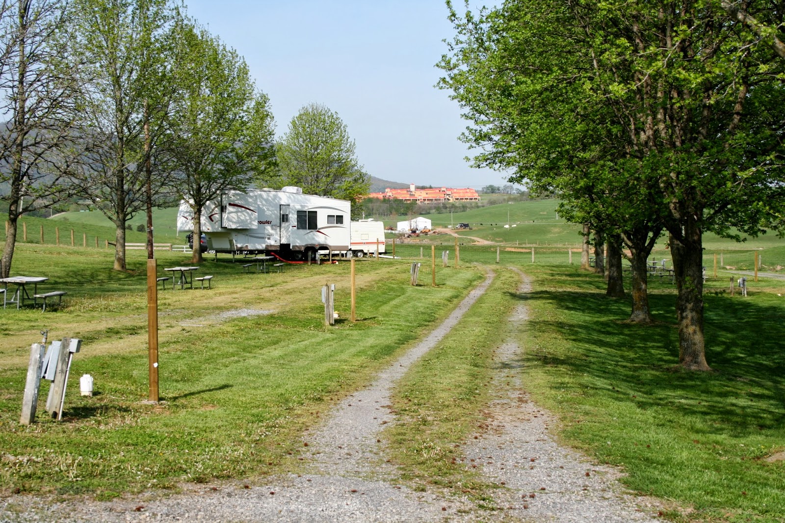
Fort Chiswell RV Park is surrounded by farmland
and cattle, making the campground very peaceful!
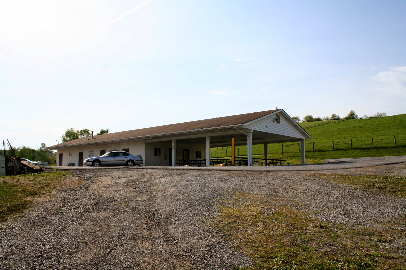
The shower rooms and maintained and cleaned impeccably.
The park has 2 cabins that can be rented.
We were the first people to arrive this day, and the park was almost empty. By 5PM the parks center camp area was almost completely full.
We were parked off to the side. Our row filled out by the end of the night.
The next morning the center section of the park was completely empty again. With this park just a mile off I-77, it makes a great stopping place for most travelers.

Another picture of the empty center section of the park after almost completely full the night before. We stayed an extra night, before we moved north. The snowbirds are on the move north fast and furiously. 
We had planned to wait out the rain in Marietta, Ohio, but at the last minutes, we changed our plans. After looking at the weather forcast, it had changed with Marietta forecast with 4 to 5 days of rain. After one night there, we took off thinking we will drive until the rain hits. God was good to us and we avoiding rain for the last 2 days of driving. We are now in Hartland, MI.

Friday, May 2, 2014

Blue Ridge Parkway Drive In Virginia And North Carolina


                                       Saturday 4/26/2014


 Our 2nd day adventure in Mount Airy area was to take another drive on the Blue Ridge Parkway.
We were going to take Hwy. 89 to the Blue Ridge Parkway but we seem to have missed it and found ourselves crossing the border into Virginia. We stopped at the Virginia Welcome Center and Joe went in to ask how to get to Hwy 89.
The welcome Center didn't know how to get to Hwy. 89, so we decided to just go up the mountain in Virginia and catch the Blue Ridge in Fancy Gap, Virginia.
I-77 had three lanes going up the mountain. This is the interstate route we will be going in a few days. Pilot Mountain off in the distance.
We checked out the KOA campground in Fancy Gap that we had thought about coming to next, but after seeing it, Joe thought it had too many trees, and we might have problems getting a satellite connection, plus the daily rate, like most KOA's was a bit high. Since we got to check out Fancy Gap, we decided we could see everything on this day anyway.
We found the parkway on the out skirts of the very small town of Fancy Gap, and headed north.
Our first stop was at a lookout that had nothing but trees in front of it.
We walked about a block back down the road to get this view of Pilot Mountain in North Carolina.
Next stop was Groundhog Hill at 3030 feet. This lookout was closed with a gate at the entrance, but Joe and I needed to use the restroom, so parked the car in front of the gate and walked in. Unfortunately the restrooms were locked.
Since we had walked in this far, we walked on up the hill to find the overlook. The building beyond the tree we found out was a lookout tower.
Up in the tower we got a better view. Wow, I would love to have the house just off in the distance.
Another view when I got back down on the ground.
I posted this picture because I had talked to my mom a day after this drive. She had loves bare trees, and she had mentioned how old trees look like old people all bent and knotted like they have arthritis like old people. Since I had taken this picture at this stop, I thought of mom and her analogy of people and trees.
After traveling on the parkway for about 25 miles, we turned around and stopped at this homestead we had passed on the way going north.
Aunt Orelena Puckett lived in this homestead in her later life. She became a midwife at age 50 and delivered more than 1000 babies. It was said she never lost a baby or mother that was due to her fault, though all her 24 children never lived past infancy. She delivered her last baby at age 102, the year she died. 
Mrs Pucketts home.
As we continued back, we stopped at a church we had also passed by also.
Bluemont Presbyterian Church built in 1919. Worship service is at 10:30 on Sundays.
A cemetery located behind the church.
" Come on guys, lets get back on the road. I want to get back home to play ball"!
We stopped at Rap's Orchard Gap to use the restroom. If you are on the parkway and need some gas, this is a good place to stop. It is located just north of Fancy Gap on the parkway. They serve 50's and 60's food if you need something to eat.
Just up the hill from Rap's is the Lonesome Pine Cabins to give you a place to close your eyes for the night if you are traveling up or down the parkway.
The parkway from Fancy Gap going north for 25 miles was a real nice drive with beautiful views and not any scary drop offs.
We went south of the town of Fancy Gap and started a new part of the parkway we had never traveled on. At this overlook we stopped for our sack lunch. The views here were minimal because of tree coverage. I took a picture of the quarry, but it was barely visible through the trees and in a picture, so I didn't post it
After lunch, we continued down the road and saw this view as we traveled. This is where the overlook needed to be located.
A close up gives you another view of Pilot Mountain.
Less than a 1/4 of a mile we came to another stop that had a peak-a-poo between the trees that I could get my zoom lens out for this Pilot Mountain close up.
Across the street from the stop, I saw a Alpaca Farm and Store. There is a frontage road to the road to the farm either direction you go on the parkway.
This alpaca just got it's haircut for the season. The owner came out and asked if we would like to see an alpaca being sheared.
He takes us out to the barn in the back, where his daughter is sheering one of his 50 alpaca's. This alpaca, Maxsom spit several times letting them know he was not happy with the whole deal. I have to admit, I felt sorry for him. I would hate being tied down like that too, being at the mercy of the shearers. But I suppose, it is better than having to accidently hurting the alpaca because it moved!
We continue our adventure in the "High Country" of  North Carolina.
A nice sign to Glorify our King of Kings during this spring season of Easter.
We approach Hwy 89, the Hwy. we had originally planned to come up the mountain on.
Shortly after the junction of Hwy. 89 we cross the border back into North Carolina.
Our last stop before heading back down the mountain was at Fox Hunters Paradise.
This was the best overlook of the day.
Looking north.
Looking east.
Looking South.
Zoom lens for close up and Pilot Mountain in the distance.
My question is, " Is that white patch out in the distance the quarry"? If it is, Mount Airy is next to it.
I have seen so many butterflies in North Carolina.
We head back and cross the border back into Virginia
back to Hwy. 89. We ended up just doing our day in the opposite direction we had planned.
As we went down Hwy. 89, we cross back into North Carolina.
We went through 3 to 5 mountain cuts down the mountain. I don't think I would like to drive a motor home down this road. We had driven 105 miles, on a 5 hour tour.
When we get back to Mt Airy, I see the temps got to 81. Our temps on the parkway was from 73 to 77. A good day to be in the "High Country".