RVery Best Nest

Come join Joe, Mallery & I, as we travel around the USA in our RVery Best Nest. God's Favor has been chasing us down, and we are enjoying all of His blessing's, that He has created for all to enjoy!


Monday, April 30, 2012

Drive To Blackstone RV Park, Fresno, CA.

                               Wednesday 4/18/2012

We headed back west on Hwy. 198 toward Visalia. We came in on this road, so we are backtracking until we get to I-99. Since we have been in this area we have noticed the skies are not as blue. After reading a few information boards in the park, we realize it is because the smog is so bad. Visalia to Fresno are in the top five cities with the worse smog problems. It's too bad because this is really pretty country. I am wondering though if maybe our motor home needs its inside windshield cleaned, because these picture look so very cloudy! I will have to clean them before we leave the area to see if that helps.


There is camping on the Kaweah Lake. We didn't realize it until we drove back past it , heading toward Hwy. 99.


Lake Kaweah is a reservoir near Lemon Cove in Tulare County, California.


The river originates in the Sierra Nevada mountains and drains about 560 sq mi  into Lake Kaweah.


Because its primary purpose is flood control, Lake Kaweah is maintained at a very low level or empty for most of the year, and generally only fills between May and June. Picture of Lake Kaweah Dam.


Back in the valley with vineyards and orange grooves.


We get back on Hwy 99 and head north toward Fresno with the Sierra Nevada's to the east of us again.


We enter into Fresno, CA.,


and take the Bullard Ave. exit.


Blackstone North RV Park is just a few blocks off the I-99.


We were given site #45. This is a nice site, because it is a corner lot. It is paved, and has a pave patio. It also has a even bigger strip of grass for Mallery. Then to top all this off, you get a paved driveway for your car. The park also has free WiFi. We have our own Verizon hotspot, but it wasn't working real well in Fresno ( major city so it should have been great there), so we did use theirs some. It was not the best either, but better then our hotspot. The park use to be a mobile home park, but the owners have found it is easier to get rid of non paying long term people if they are in a RV's rather than mobile homes. There are a few permanent RV residence, but the park is kepted very nice and tidy, so we do recommend  this park. The park is $40 a day, but if you have a membership with Good Sam's, it is $35 a day. We came to Fresno, so we could see Kings Canyon National Park. Also we found out after we arrived that the price we payed for 5 days is the same as their weekly rate. Unfortunately we had back to back reservations made for the next month, so we couldn't stay the extra two days. We have left  North Blackstone RV Park in Fresno, and are now in Bass Lake just outside of Yosemite National Park.

Sunday, April 29, 2012

Marble Fork Trail, Sequoia National Park

                              Tuesday  4/17/2012


On our last day in Sequoia National Park we drove to Potwisha Campground to hike the Marble Fork Trail.


A heard of deer were resting in the shade in the campground until I got too close for pictures. Then they got up and started eating. There were only about 5 camping sites that had occupants in them.


You take a road that runs next to site 14 for a while, to get to the trail head. At a gate, I looked down and saw this little feller sticking his head out of his hole. He just sat there, so I got my phone out and took his picture. Does anyone know what he is?


Close to the trail head, I saw about 20 purple butterflies, fluttering around a spot on the ground. Some were on the ground.

 
Add caption

They were a beautiful periwinkle color.


This road takes you along a stream to the trailhead.


After walking on the road for a while, we found  this sign directing us up some stairs on the right behind some bushes. The starting elevation is 2000 feet, and the trail ends at 4550 feet.

 
I had Joe go first to scare all the bears away!

The trail is a constant switch backs going up and very woodsy. We finally came to this clearing.


We had walked for about a half hour and my left foot was going numb. ( I have had this problem with my left foot going numb, when walking too long, for at least 10 years. Doctors don't seem to have an answer for me why). We have not had a lot of exercise so we headed back down the hill.


At the bottom of the trail, I found another group of purple butterflies.

If you take the trail to the end, you reach the base of Marble Falls. To do the entire trail, there and back, it is 7.4 miles. That is way too much in our lack of condition, especially when my foot starts to go numb. 


Back in Potwisha Campground we saw a lot of these little guys. They sit up and make a funny little calling noise. Not sure what kind of squirrel or marmot they are. Anyone know what they are called?


We also saw some birds in the campground. Looking into my bird book, that Renee gave me, I think this is a Oregon Junco.


Western Scub- Jay with their white eye brows.


Potwisha Campground was alive with wildlife.


The ranger in Potwisha told Joe the first day he drove up there, a bear had come into the campground also. By the time we got back to the car, my foot was really bothering me. Good thing we turned around when we did. Sorry the pictures were so blurry, but I zoomed in the best I could, but my subjects were all too far away to be clear.


Saturday, April 28, 2012

Sequoia National Park - 2nd Day Drive


Monday 4/16/2012

Our 2nd day drive into Sequoia National Park was perfect. This is a view as we left Three Rivers, CA.

The fog was gone, the sun was shining and the temperatures were in the 70's.

Here we were pulling up to the Sequoia National Park pay station. You could actually see the mountain behind the station, compared to the day before.

On this day we were able to drive much farther into the park, but we still could not drive all the way to Kings Canyon.

The visitor center is only a few miles in, from the entrance of the park.


We drove on and didn't stop at the visitor center, because we had stopped the day before.

We drove past Tunnel Rock and saw that people had climbed on top of it.


 Moro Rock  out in the distance. There is a trail to it, that is open in the summer, or you can use snowshoes or ski's to get to it in the winter.

At 4000 feet we hit snow and the road construction. We were blessed  and only had to wait for about 5 minutes.


A traffic light controls the one way traffic. The wait is 20 minutes on the weekends, and and hour during the week.

Only room for one lane of traffic in construction area.

Oh no, someone didn't wait for the green light. I don't know what is going to happen when they get to that one lane area!

Views out the window on the construction road.

We enter into the Giant Forest. Sequoia trees are only found on the western slopes of the Sierra Nevada Range, between 5000 to 7000 feet.

The Giant Forest is really something you have to see. Here again, the pictures just don't show the true size of the sequoia trees.

We drove that day as far as Wuksachi to where the road is closed to Kings Canyon.

The farther up we went, the deeper the snow got.

Snow was falling constantly from the branches above. Joe said he saw a car with a cracked windshield heading back down the mountain. We wondered if falling snow had caused it. We had some snow fall and hit our car pretty hard.


We had not seen snow for almost 3 years now, so this was fun.

Joe showing how deep the snow was at the top. General Sherman Tree parking lot was full. We parked down the road and walked up to the parking lot. We wondered what it would be like for parking in the summer, if it was this full during off season.

Looking up to the top of the General Sherman Tree, the worlds largest tree. There are other trees that are taller or wider, but in volume and mass, the General Sherman sequoia tree is the largest in the world!


General Sherman is a giant sequoia tree that stands 275 feet tall.


The tree's trunk weights an estimate of 1,385 tons.


The circumference at the ground is nearly 103 feet.


We had to tramp in deep snow amongst many foot tracks, and it was very slippery because of the thawing.


I had wished I had brought my hiking poles to keep from slipping and falling. We also were being slammed from snow sliding off above branches.

This is a sequoia that was cut down years ago.

On the way back to the car I found another spot that showed the deep snow on a hill.

Next we drove down the road to Wolverton picnic area. We pulled into the parking lot and had lunch and watched the children play in the snow.

After lunch we drove to the Lodgepole Visitor Center.


Even though there was a lot of snow, the sun was out and it felt warm enough to not wear a jacket by then.

After watching a few short movies, we went back to the car. Mallery was panting, because she was getting warm also.

Our last stop before we turned around was the Wuksachi Village. There was a lodge there,  but we didn't stop to check it out because fog was coming in and we thought it might rain.

This was the end of the road, and only cars with chains could go further down the road to Kings Canyon.

At the Wuksachi Village we were at 7000 ft.

A lot of the trees were covered in moss in the Giant Forest.


The sequoia trees seems to be immortal. It is disease, fungi, and fire resistant. Most sequoia die from toppling from shallow root system.

The road goes through two giant sequoia trees.


This picture shows the size difference of other trees around this one.


Beautiful views going down.


Views from Eleven Range Overlook.

A sign at the overlook tells how this vista is getting ruined, as well as the plant life in the park from warm polluted circulating air from Fresno to Visalia.  ( Visalia is the town next to Tulare we stayed at before we came to Three Rivers, CA.)


We reach cloud level.


Moro Rock as we descend.


Back at the road construction, we see a guy out of his car pointing and saying, "There's a bear". As we got closer I popped out of the window to get above the wall. The bear looked up once, but I missed the picture, because I was trying to take the picture and also point where the bear was to Joe. It's all Joe's fault, like always!

I think you can see the red from the Red Bud trees well in this picture.


I had Joe stop so I could get a flower picture and drive Joe crazy.


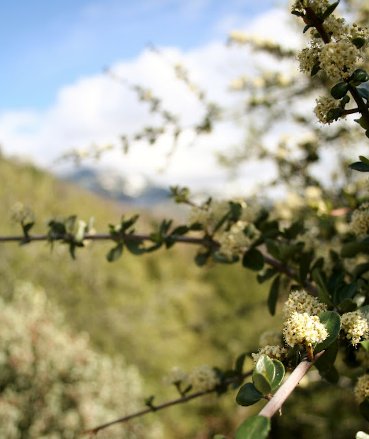
The white flowers smell heavenly!


As we turned onto the road that goes to our resort, we saw this Acorn Woodpecker. We have seen a lot of them, but I had not been able to get a picture of them. I think it is a male, because the females have shorter bills. ( Don't I sound like a birder)!


Further down the road, we saw this pair of California Quail. The male of course has the black face and feather.


At home, we took Mallery for a walk down by the river. We heard lots of birds in the trees.


I saw some birds flying, so I started to take a picture as Joe jeered, I couldn't get a picture of a flying bird! I proved him wrong didn't I!


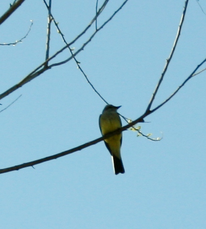
I think this is some kind of warbler. I am hoping when we get our zoom lens for our new Canon camera, I will be able to get better pictures of birds.

 
Kaweah River at Kaweah Park Resort.