RVery Best Nest

Come join Joe, Mallery & I, as we travel around the USA in our RVery Best Nest. God's Favor has been chasing us down, and we are enjoying all of His blessing's, that He has created for all to enjoy!


Tuesday, October 22, 2013

Wind Creek State Park and Cheaha State Park in ALabama

                  Sunday 10/20/2013

After a week in Chattanooga, TN., we headed out, but first we had to go through Chattanooga to catch I-59 South.
Our campground in Chattanooga was just off I-75 just north of  the Georgia border. We went back north on 1-75 to I-24 through the city.

Check out these homes on the edge of the mountain. I think this is called Lookout Mountain, which we never got a chance to check out while in Chattanooga. Maybe next time!

I-24 takes you through the city and along the Tennessee River.

After leaving TN, I-59 takes you through Georgia's NW corner of the state.

A few miles down the road, we entered into Alabama. Getting closer to my Nana kid fix!

At Gadsden, AL., we left I-59and headed south on Hwy.77. This Hwy. took us past Neely Henry Lake.

This lake is a reservoir and formed by damming the Coosa River. The lake has a water surface area of 11,200 acres and 339 miles of shoreline. Birmingham is SW an hour away.

Most of Hwy. 77 is 2 lane, but there was an occasional 4 divided lane highway.

Hwy. 77 turned into Hwy 21 and bordered the Talladega National Forest. At Sylacauga we turned east on Hwy 280.

In Alexander City we turned south on Hwy 63 for 4 miles to Hwy 128 to Wind Creek State Park.

Wind Creek State Park is on Martin Lake. Joe splurged and paid an extra $3 a day for a waterfront site. He actually traded a sewer hook up which was another $3 a day for the waterfront site instead since we were only going to be here for 3 nights.
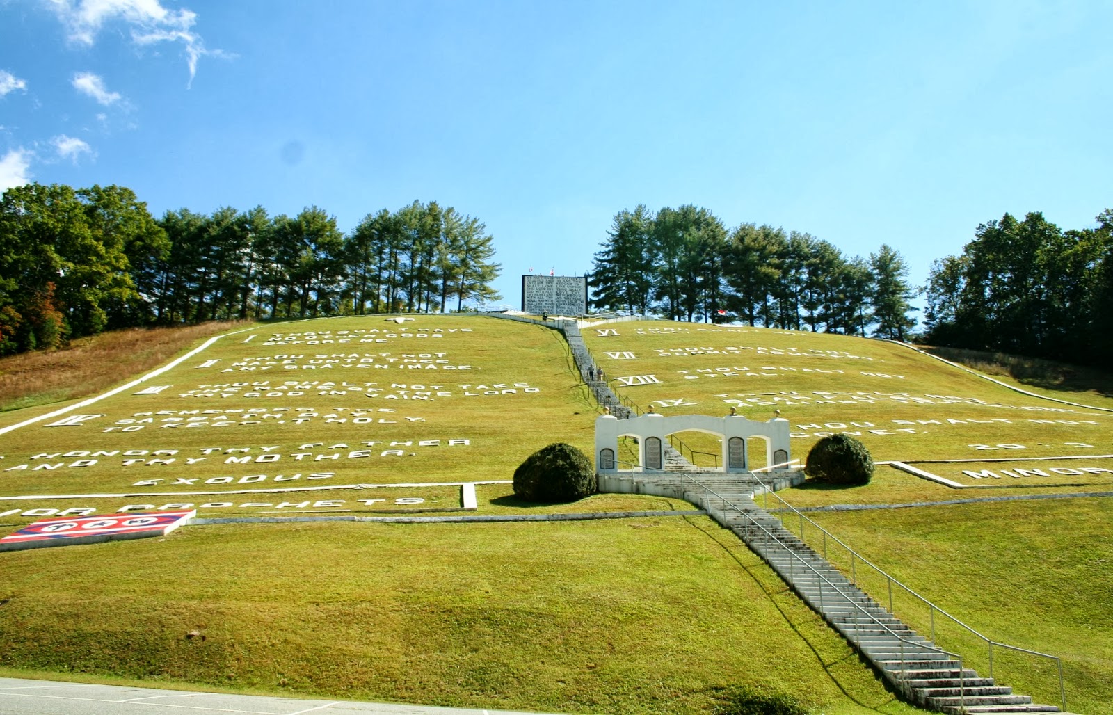
The next day we took a day trip back north to Cheaha State Park. This state park has a campground, motel and restaurant. The drive was 62 miles to this park.

We came to see the highest point in Alabama at 2407 ft.

It cost $3 per adult to get in the park. This is the tower to get the high views.
It was a cloudy day, so the views were not real clear.

Plus there were all these tower wires ruining the views. In the tower, there were dirty glass windows to see out. If you were tall like Joe, you can get on your tippie toes and get glass free pictures.

Thank goodness I have a tall husband that could take these pictures.

There were 62 stairs to climb to the top of the tower. Joe and I  both must be out of shape again, because those 62 stairs were a lot of work.

On the way out of the park we stopped at the restaurant because I saw another viewing spot.

View of Talladega National Forest below.

The restaurant has a really nice patio with great views. If you didn't bring your lunch, this would be a great place for lunch with the best seats in the area.


Once again, we were too early for the fall colors.

We headed back down the windy mountain road of Alabama.

Once back to Hwy. 281, we turned north for a few miles, and came to another lookout stop.

If you can see the tower on the top of the mountain, that is the highest point in Alabama.

At Hwy 24 we turned east, than south to do a loop drive back home. The total drive was 140 miles. A bit longer than we thought it would be.
The next day, we were going to drive to Auburn, AL, but it was another 40 miles there and 40 miles back, and neither of us felt like another long drive. We stayed home and in the afternoon took a longer walk around the campground. This is the beach area of Wind Creek State Park.

On our walk we found a fishing pier and cafe/ boat rental store. ( kayak and paddle boats).
Views from the fishing pier.

This picture makes the water look bluer than it really is.

We could get more of a house for our money verses Northern Michigan lakes in Alabama. And we would be much closer to our girls and grand kids. But it would be freaking hot in the summer, and the water is not as pretty as in Michigan.

This is a picture of our Nest across the cove from another part of the campground. The lake bottom is clay/muddy, and this is the true color of the lake water.

We leave tomorrow to continue our trek to the gulf. Depending on what time we get out of here and how the drive goes, we might drive straight through to Robertsdale, AL where we can stay at Styx River RV Resort for free because we have a membership there. We might also just decide to stop at Wal-Mart mid way and make it a short drive. We don't have reservations in Gulf Shores until Nov. 1, so we are not in a big rush.

Wind Creek State Park is a really nice park.  It is one of the biggest state park in Alabama with 642 campsites. It has a large and busy playground.

Sunday, October 20, 2013

Chattanooga Camping World Campground, Chattanooga, TN.

                       Sunday 10/13/2013

After 4 nights in Black Bear Cove RV Resort in Benton, TN, we headed toward Chattanooga, 48 miles southwest.  Chattanooga sits in a valley as you can see, as we approach the city from the north.
There is a Scenic Viewing stop as you come from the north that has enough room for RV's, but we didn't stop, because we didn't see the sign until we were passing the stop.
Chattanooga has a population of 171,279 people. (We though there would be a lot more people, because of the high amount of traffic).
We decided to come to Chattanooga because the Camping World campground is just off I-75 less than a mile, and the price was right at $22 a night for full hook ups.
Camping World Campground sits between the store and the service center. We found the only spot in the campground with no trees above us. We were able to get a satellite signal, but if you can not, the park has free cable. The in roads are paved, but the sites are gravel.
The park has a fenced in playground next to the pool.
The pool was closed for the season.
We spent the week doing everyday ordinary stuff, thinking if we had time, we might do some site seeing, which never happened. Today I got Mallery bathed, but not trimmed (so still a little behind). Joe had time to go site seeing, but his wife was too busy doing lots of stuff all week. Joe cleaned the motor homes roof this week to keep himself busy.
We did run downtown to pick up some mail that we had sent to General Delivery in Chattanooga. We really didn't check out the town, because Joe wasn't really interested.
When we first arrived in Tennessee, I started to see Waffle House's. I really like Waffle House, so we went to dinner there one night since it was just minutes from Camping World.
I always get the "All Star" because for the $6.95 price, you get more than if you order a la cart.
Joe said, "It is more food than I can eat"! But I told him, just eat what you want and leave the rest. After trying to figure out what he wanted and for the price, he realized I was right and ordered the same thing. My girls got me started on the Waffle House down in Gulf Shores. We never managed to eat there last year, so when I saw them again this year, I made it a priority. We brought our own syrup, because once you get use to pure maple syrup, Aunt Jamima just doesn't cut it anymore. Today, we leave for Alabama, and will drive south to Alexander, which is southeast of Birmingham.

Friday, October 18, 2013

Lake Ocoee & Field Of The Wood


                     Friday 10/11/2013

Our campground was just down the road from Hwy.64/74 that we wanted to explore. Our first stop was at the Ocoee No. 1 Dam.
Joe points to the map of dams and where we were at. The map shows about 28 dam in the TVA (Tennessee Valley Authority watershed).
Ocoee Lake is 7.5 miles long and has a shoreline of approximately 50 miles, and nearly 2000 acres.
We stopped at a state park to get better view of the lake. Most of the land adjacent to the lake is managed by the US Forest Service as part of the Cherokee National Forest.
As we continued east on Hwy. 64/74, we follow the Ocoee River. This river is used a lot through the summer for kayaking and canoeing.
A little further east we came to Ocoee No. 2 Dam.
The boat ramp below the dam. This area is way too low for kayaking now.
We continued our drive, and went past the site of the 1996 Olympics. It was barracked up, so we couldn't stop and check it out. A whitewater canoe slalom course was constructed here for the Summer Olympics in Atlanta, Georgia. It is so expensive to run, that only the commercial rafting industry uses the course in the summer.
Because the Ocoee River above Dam 3 rarely has water in it the Whitewater Center which is operated now by the US Forest Service, serves primarily as a site for hiking and mountain biking with over 30 miles of trails. The river upstream of Dam 3 that comes from Georgia is called the Toccoa River. You can see the dry river bed in the picture.
The Boyd Gap Scenic Overlook is where many of the trails start. In this picture we were looking south toward Georgia.
After Boyd Gap Scenic Overlook, the two lane highway has an occasional passing lane.

Once again we enter into North Carolina.
Just south of the town called Ducktown, we turned north on Hwy. 68. I kept seeing signs for the "Field Of The Wood", and wondered what it was. As we were driving by, we decided to check it out.
On the gate we saw this plaque. "Gates With Thanksgiving" Psalm 100:4
Entrance into the Field Of The Wood.
As we pulled in I look up the hill, and said "it's the Ten Commandants"! We thought this was a good place for lunch, so we ate while we watched people climb to the top.
Across the street, was another hill with steps. After lunch we decided to get some exercise.
The sign tells us it is the Prayer Mountain.
More plaques with scriptures on the entrance arch to the Prayer Mountain.
As we climbed the Prayer Mountain, we got a better view of the "Ten Commandments" across the way.
The other scripture on the Prayer Mountain entrance arch.
Above the entrance arch, stairs lead us past monuments with more scriptures.
Each monument had a state name at the bottom.
I was glad we stumbled on this place. As Joe said, "This is right up your alley"!
We started back down the mountain, so I took another picture across the way from a higher perceptive.
Joe pointed out the Witness Tree that he had read about while I was reading other scriptures.
This is the tree that had the church banner on it, that was later struck by lightning.
Because the day was getting short, instead of taking the time to climb the stairs to the top of the Ten Commandments, we drove our car up the road to the top.
Joe and Mallery sit next to the two most important commandments, that sits above the Ten Commandment.
If you want, you can climb a few more stairs in the building to get above the two most important commandments.
From here, you can see above and beyond the Prayer Mountain. You can also see the baptismal pool,
and a good view of the bushes that were trimmed to say, "Jesus Died For Our Sins" When we were below and walked past the bushes, we had not noticed what it said until we came to the top of this mountain. The property also has a gift shop, and cafe that is open on just specific days.
We drove further up the hill and found "The All Nations Cross". The cross represents the cross that Jesus was crucified on. "He did not die for only one nation... but that also he should gather together in one the children of God that were scattered abroad". John 11:52. The church is to go out and teach all nations. When a nation receives the Gospel, the church of God is established there, another flag pole is placed on the cross and the flag of that nation is displayed.
This was the view from the "All Nations Cross".
After we left the Field Of The Wood, we continue our drive to see Hiwassee Lake, Unfortunately because the government was shut down, the road that took us to the lake was closed, and time was running out to go any further to see the lake. We took Hwy 294 that looped back to Hwy 64/74 and headed back toward home.
Hwy. 64/74 was a four lane highway back to Ducktown. We enter back into Tennessee.
Once past Ducktown the Hwy went back to it's 2 lane road, which is very curvy with large 18 wheelers and lumber trucks coming around the curves. One of the reasons, I would not want to live on a lake in the Appalachians is I hate all the curvy 2 lane roads! I was disappointed we didn't get to see Hiwassee Lake, but I was really glad God led us to the Field Of The Wood. It is a place I will never forget!