The last day we were in the Pocono Mountains, we decided to drive to see Pocono Lake. I did some research and found out it was a private lake, but I figured we could at least get a view of it. Well I'm telling you now, you can't. The road to the homes around the lake has a security coded gate. We did see a bit of the lake once, when we crossed a bridge at the far end of the lake.
 |
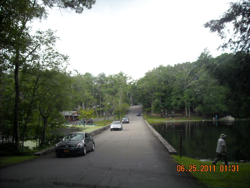
| On the way back home we saw this lake from the highway. |
 |
| The lakes name is Lake Naomic. This was a private beach club. We just parked in the parking lot, to take a few pictures. The water is also a root beer or tea clear color. Here is some information I found out about the lake. Today, Lake Naomi / Timber Trails has evolved into one of the most extensive, family oriented, recreational communities of its kind anywhere. Lake Naomi is a mature, well managed leisure community on 2,500 acres surrounding a 3 mile long, 277 acre private lake. |
 |
| We have spent the last 18 days staying at campgrounds for three days and moving to the next, do to membership rules. We plan on staying for a week at our next park. We left Pennsylvania, and entered the state of New York. This is a home that we past in Port Jervis, NY. |
 |
| There were several neat old homes as we passed through the town. |
 |
| We took Hwy. 209 most of the way to Accord, NY (except in certain instances, where the GPS thought it was faster). The roads were very good for two lane driving. We hit our first dead end following the GPS directions, on our drive north. The GPS took us to a low clearance bridge of nine feet. I am so glad Joe watches signs well. We are eleven feet and six inches tall. We were blessed in two ways that day. First, there was a street we could turn at to turn around. Otherwise we would have had to unhook the car to get turned around. Because we were in a town, we had no clue which direction to go, when we did get turned around. We could not follow the GPS anymore, it would just takes us back to the low bridge. We did not have a map of the towns streets, so we didn't know which way to go to get to Hwy.209 north. Our second blessing came, when there just so happened to be a young lady crossing the street with her daughter, and she was able to give us correct directions. Praise the Lord! |
 |
| GPS systems needs to have options for us large rigs so we can enter our height restrictions. From now on, I am going to have to check out the GPS directions the night before on a map and internet for low clearances. |
 |
| We stopped at a rest stop for lunch. I walked Mallery before we ate and I found this sign. Hwy 209 was the "Old Mine Road in 1756. Wagons and Stagecoaches traveled this route. No wonder there are so many neat old homes. |
 |
| The route took us through many very small towns. |
 |
| We were following the river, so we were in the low valleys. |
 |
| I had forgot and left my camera in the car glove department for part of the drive. But this is what it looked like most of the drive below Port Jervis, NY. We did go through New Jersey for about two miles. We again will not count that as a new state. I never did see a, " Welcome to New York" sign. New York is a new state for both of us. |
 |
| Our drive was 75 miles from Timothy Lake North, PA. to Rondout Valley Resort, NY. When we were at Lake Timothy, we asked someone, why some of the parks are called Thousand Trails, others called Encore, and still others called Outdoor World. We joined the Northeast region of Thousand Trails Campgrounds. We were told that Thousand Trails bought out Outdoor World, and Encore bought out Thousand Trails. I just thought I would clear that up for anyone who was wondering the same thing. |
 |
| As we entered I saw this sign. I thought, I'll be the judge of that! |
 |
| Joe and I decided that this park is definitely not a five star. When Joe registered, he was told that the full hook-up sites were all gone. We would have to take an electric/ water out in the field. That was just great! We finally were going to stay for seven days, and we have to dry camp, with no sewer. We had reservations, but we found out after Joe read the contract, they only have to hold a spot for us. It doesn't have to have any hookups. I guess we are lucky, we could have been given a spot without electric and water. I just hate it when you join something, and they leave out so much information, just to get you to join. |
 |
| We are sent to the Rally Area or the big field. |
 |
| We were first given the site where the 5th wheel is parked behind us. After we pulled into that spot we realized it was going to be hard to get out once someone parked in front of us. We pulled back out and parked where we are now in the picture. Then Joe went to the office, and told them we wanted to change our spot. The picture does not show it, but there is a large dip down in front of the 5th wheel where water pools when it rains. With our low riding Honda, that could be a dangerous spot. |
 |
| This is a look at another open field, where they have horse shoe and bochee ball. The pool is to the back of the field. |
 |
| Over to the left is the pavilion and snack bar. |
 |
| Joe asked me why I take pictures of the swing sets. I told him, I do it for other people who have children, and may be looking to see what the park has for their situation. Maybe he was afraid you all would think we played at the playgrounds! |
 |
| A wood built train. |
 |
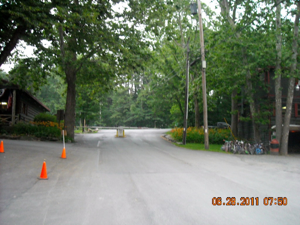
| When we first arrive to this park, we pulled up to the gate. They do not have a intercom system, so Joe had to go inside and ask them to open the gate. When, he got into the office, they asked if he was the one blocking the drive. He said, " yes, could you open the gate for me." |
 |
| Then he pulled up to the cones, with a sign that say, " Do not park here". Of course we parked there, where else were we suppose to park? We are not a short vehicle! Joe went in again to register. Once again, a guy said, " Can you move your bus, can't you see the sign". Joe asked where were we suppose to park to register. Then we were told to park along side the game room building . He told Joe that there was a road that went around it. That road for all we knew, took you to camping sites. The point I am trying to make is, this park need to set up directions for those who are new and have never been to the park. I watched the next bus come in and do exactly what we had done. This park is not a five star, with customer service. The park needs to work on a better system on making their guest feel welcome, and not in the way. |
 |
| I did enjoy the nice wood swing out front, while Mallery and I waited for Joe to return, when he finally got to registered. |
 |
| After you register, you cross a one lane wood bridge across a stream. |

 |
The park has a very nice clean looking pool.
Joe meet the lady across the street from us, who also joined the NE Region Thousand Trails. She was also put in a no sewer site. She was not a happy camper either. Joe was told that we could move to a full hook up site, when someone left and one opened up. Joe asked if he could put our names on a list. They said, " We would need to check every morning, their policy is a first come first serve". The next day when Joe went to see if there were openings, she told Joe he could have one that had cable, but we would need to pay $2 a day more. We don't need cable, because we have our Direct TV dish. We had also found out that there were many sites that had meters on them. These site were rented out for the summer. I went to the office to find out exactly how many full hook up sites were available, that did not have cable or a meters (summer lots). The lady said she really did not know, dodge my question. I kept pursuing the question, and she finally showed me a map of the campground. The cable sites were in a red color, the meter sites were in blue, and the full hook up/no cable were in pink. Looking at the map, there might have been 30 full hook up/no cable in the whole camp of 365 sites. The 70 sites of electric/water, where we are located are not included in the 365 sites on the map. The lady across the street said she would probably not recoup her initial investment, because she had bought the membership to just come to this park all summer. She lives in New York. She was not coming back to stay in a no sewer hook up site again. |