Wednesday 4/25/2012
 |
Glacier Points main viewing area is a 1/4 of a mile walk from the parking lot. |
 |
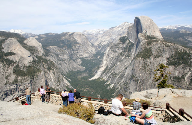
This is a good place for lunch. You can't get a better view! |
 |
You can see Yosemite Falls from this point, as well as one quarter of the Yosemite National Park |
 |
You also can see almost all of the valley below. |
Close up picture of Upper Yosemite Falls. |
 |
You get a great view of the winding Merced River, |
 |
and Ahwahnee Hotel. |
 |
You can see the swimming pool in Curry Village in the bottom of this picture. |
 |
Another view further to the right, of the sheer 3,214 drop down. |
 |
The Geology Hut is also located at Glacier Point. |
 |
In 1925 the Natural History Association built this Geology Hut as an observatory to educate visitors about Yosemite geology past. |
 |
Joe standing in front of the hut. |
 |
Standing on the balcony of the hut. |
 |
Joe standing below the hut and holding up that post! |
 |
View of Nevada and Vernal Falls from Glacier Point. |
 |
View to the east of Glacier Point. |
 |
Half Dome from Glacier Point. |
 |
Outdoors auditorium |
 |
Glacier Point has a concession building to get snacks. Looks like someone dropped their ice cream bar and the squirrels are enjoying their find. |
 |
Liberty Cap and Nevada Fall. |
 |
A High Sierra view. |
 |
Half Dome stands at 8,884 ft. |
 |
As we left Glacier Point, we could see Half Dome on that scary part of the drive. |
 |
We noticed cabins as we left. I don't know if they are rentals or park employee housing. |
 |
The highest point on the drive is 7,803. |
 |
As we were driving back down, I saw this car pulled over, so I had Joe stop. This coyote was standing by the car looking for a hand out. |
 |
As we pulled up, it walked over to our car, and gave us this look, and then walked on by. |
 |
This was the other scary part of the drive. |
 |
But beautiful! |
 |
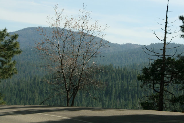
Before we got back to the main highway of the park, we stopped at one last pull out. |
 |
View of Merced River. |
 |
On the main highway 41, we turned toward Fresno/Bass Lake. |
 |
On the way out of the park, we stopped at Wawona Campground, which is located along Merced River. It is located 4 miles in from the South gate of the park. |
 |
The park looked pretty empty. Joe asked why the park told us they were full when we called about making reservations. |
The park ranger told Joe the campground is full every weekend through the summer. If we wanted to stay, we were welcome to stay Monday through Thursday. Maybe next time! |


No comments:
Post a Comment