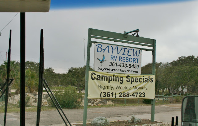
| The next resort we were headed for told us to stay on I-59 and to take Hwy 185 southeast near Victoria, TX. She told us not to go by their address with a GPS as it would not get us there. I had put a small town that was located on Hwy 185 in the GPS so we could know when we were close to our turn off exit. For some reason the GPS didn't want to take us on Hwy. 185. No matter what town I put in that was on Hwy 185, the GPS wouldn't take us to Hwy. 185. The GPS had us turn on Hwy. 87. I had been looking for signs for Hwy. 185, but we never saw any until we turned on Hwy. 87. Hwy. 185 was just about a half mile down the road from the Hwy. 87 turn off. I could see on the map that it looked like Hwy. 87 and 185 both turned east at the same point, so I thought maybe Hwy. 87 would have an exit to Hwy. 185. No such luck! There were no turn around anywhere, so we took Hwy. 87 toward Port Lavaca, which took us slightly NE. We caught Hwy. 35 south about 25 miles down the road ( which was the road we were suppose to get to on Hwy. 185). The mistake cost us an extra 10 miles. In this picture we had turned on Hwy. 35 to the south and the landscape turned from farmland to lowlands and scrub brush. Hwy. 35 has a speed limit of 75 mph, and people were traveling and passing at that speed. Two times we had passing cars, and a semi coming at us at close distances. The semi that passed, heading toward us, came so close to us that he ran the car he was passing off the road. Thankfully there is a wide shoulder to move over to. Along Hwy. 35 there is the Aransas National Refuge. |


No comments:
Post a Comment