Wednesday 4/9/2014
 |
| View from about 2 miles from our RV park. |
 |
| On our 3rd full day in the area, we decided to take a drive. We took Hwy. 80 west which is the Hwy. our park is just off of. A couple miles up Hwy 80 we came to this dam. |
 |
| On the other side of the dam is Lake Tahoma. |
 |
| Lake Tahoma is a private lake fed by Buck Creek. Now we knew where the water was coming from to feed our creek behind our RV park. |
 |
| We continued up the mountain, |
 |
| on Hwy. 80 and the road got steeper and more windy. |
 |
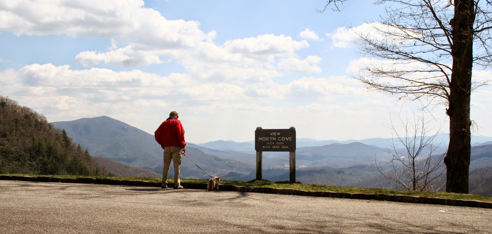
| We find a pull out, and take a break to get some views. |
 |
| We were at the Continental Divide at 3350 feet above sea level. At this point we took a road to get on the bridge, |
 |
| and turned north on the Blue Ridge Parkway. The Blue Ridge Parkway is 469 mile through 29 Virginia and North Carolina counties. |
 |
| If you like mountain top drives, you can take this parkway all the way from the Great Smoky National Park in NC to Shenandoah National Park in Virginia. |
 . . |
| Our first stop on the parkway. |
 |
| Black Mountain Overlook at 3892 ft. I love the views, but hate the drives to see them. |
 |
| The pictures can't give you the true depth of views. You just have to be there. |
 |
| I got my zoom out to see the homes below in the valley. |
 |
| And a view of a pond. |
 |
| Most of the roads had guard rails, but a few were really scary with no rails at all. I was so glad we were on the inside of the road. |
 |
| Three Knobs Overlook 3875 ft. |
 |
| I could live down there with those views! This is what RVing is about. |
 |
| Another close up shot of homes below. |
 |
| Even closer yet! I could live there too! |
 |
| Deerlick Gap Overlook 3452 ft. |
 |
Yes, we are on the top of the eastern United States. The mountain ranges go on and on. |
| We get to Little Switzerland. |
 |
| Good I need a restroom. |
 |
| Most everything is still closed for the winter season, but I found that the Little Switzerland Book Exchange was open. The book exchange also has a ton of different flavored hot and cold coffees. |
 |
| With coffee in hand, we drove to our next stop, |
 |
| that had a view of Table Rock nine miles away, which sits at 3909 ft. |
 | |
| Further up the road we pass this red building below, which also had rows of some kind of tree orchards in field next to it. |
 |
| The parkway curved around the mountain top to another overlook. |
 |
| I notice all these purple ground flowers, so I needed to take these next pictures. |
 |
| Springtime in the mountains. |
 |
| |
 |
| Across the way from the overlook we got a better view of the tree orchard. |
 |
| Signs tell us they are apple trees. |
 |
| I hope you are not getting bored with all my overlook stops, but you may never get here so just sit back and enjoy the views without the scary drive. |
 |
| Ben Den Overlook 3359 ft. |
 |
| Close up of previous picture. |
 |
| Closer yet. |
 |
| As we continue north on the parkway, we get closer to Table Rock. I got this picture as we were on the move. |
 |
| Last stop was at Crestoa View. You have a very short walk down a path and a few stairs. |
 |
| |
 |
| At Linville Falls we had drove so far 41 miles. At this point we got off the parkway and took Hwy. 221 down off the mountain toward Marion another 23 miles away. |
 |
| Once down from the mountain, we past another permanent RV Park, |
 |
| which also sits next to a creek. Hope you enjoyed the drive. I know I did, and will probably never be back so I wanted lots of pictures to remember it. |


No comments:
Post a Comment