


Saturday 4/12/20014
 |
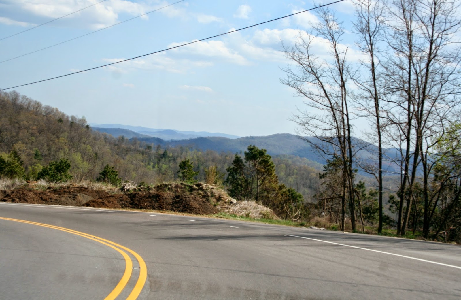
| We are no longer in Marion, NC, but as usual I am behind in my blogging. So what else is new! From Marion, we took Hwy. 221 North. |
 |
| As we start to climb the mountain, we saw homes on the mountain side. |
 |
| We were headed to Linville Falls for some exercise. |
 |
| We didn't bring Mallery, because we didn't know if dogs were allowed, but from this sign we saw they are allowed on a leash. |
 |
| I was glad we didn't bring Mallery, because the trail was a bit mucky for the last 1/6 of the trail. Joe sits by the middle falls of Linville Falls. Like most pictures, you don't get a true views of the falls. This part of the falls goes down a narrows, and drops 45 feet, through to two large rocks to another falls, which we could not see from this part of the trail. |
 |
| The upper falls of Linville Falls, flows over a 12 foot rock shelf. |
 |
| This is another view of the middle falls that Joe was sitting by. You can see the two large rocks the falls goes through. |
 |
| We head back up the trail so we could get to the overlooks that have viewing of the lower falls of Linville Falls. We needed to get to higher ground. This picture shows people at the overlooks we were going to hike to. Can you see the people up there on higher ground? |
 |
| I didn't think so, so I had to zoom in a little more. Can you see them now? |
 |
| OK, if you didn't see the people in my last zoomed picture you are blind and need better glasses. But for you I got the zoomed lens out. Now do you see the people? |
 |
| We were heading for Chimney View. The trails are not that long, but steep, so it gives old, out of fit people, a good workout! |
 |
| After climbing a steep hill, you take steps down to the overlook. |
 |
| Lot's of people at the overlook because it is Saturday. |
 |
| View of the lower falls of Linville Falls that we couldn't see at our first stop. |
 |
| Zoom lens view. |
 |
| Another overlook view just steps away. |
 |
| View from that overlook. |
 |
| View looking down river, from the same overlook. |
 |
| More hiking up a rough uneven path to another overlook. |
 |
| View from a overlook at the top of the hill. |
 |
| From that overlook, we see the sign for Erwin's view, which is just around the bend. |
 |
| Lots of people at this overlook too. I don't mind sharing the views, because I like knowing there are many people on the trails and I don't have to worry about running into an over protective mama bear and her cubs. |
 |
| View from Erwin's overlook with the zoom lens. This lower falls plunges 90 feet to Plunge Basin. |
 |
| We left the falls and headed down the mountain back on Hwy 221. |
 |
| Once down the mountain, we continued on Hwy 221 south toward our campground in Marion, NC. |
 |
| But before we headed home, we wanted to go to Wal-Mart in Spruce Pines. We had a choice to go on Hwy 226 A or Hwy 226. We chose Hwy 226. |
 |
| It was extremely straight up. After shopping at Wal-Mart, I asked the cashier what Hwy 226A was like. We were thinking of taking it back down the mountain for another scenic route. The cashier told us it was extremely steep, not well maintained, and not a lot of guard rails. Hwy 226A is part of the Diamondback loop. We had done the other 3/4 of the loop on previous days, but I guess this part of the loop we were going to skip. |
 |
| We took Hwy 226 back down the mountain. Note the warning to truckers to maintain a speed of 15 mph. |
 |
I was told later by a local, that several trucks, didn't heed this
warning and went through the guard rails and off the mountain side.
There were 3 truck run away spots going down, like you see on most of the
highway in this area. In the picture below, you can see the two roads above the road, as we came down the mountain. |
No comments:
Post a Comment