


Tuesday 4/22/2014
 |
| Our day trip from Mayberry Campground took us south on I-74 for about 20 miles. |
 |
| Pilot Mountain is a remnant of the ancient chain of Sauratown Mountains. |
 |
| Joe stopped at the Pilot Mountain State Park Visitor Center and got a map. There was no charge to enter the park. |
 |
| Information on the map shows we went from 800 feet to 2200 feet. |
 |
| The 2.3 mile drive to the top had a few steep grades. |
 |
| And once on the summit, what a view you get! |
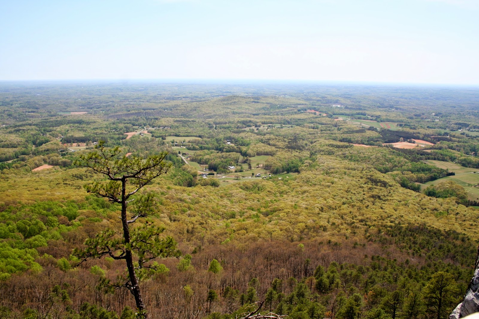 |
| A look across the Piedmont landscape of North Carolina. |
 |
| This area of North Carolina has over 50 wineries. |
 |
| From the summit you also get views of the Blue Ridge Mountains. |
 |
| A close up of previous picture, gives you a better view of the Blue Ridge Mountains of North Carolina and Virginia. |
 |
| We took a short walk to Little Pinnacle Overlook. |
 |
Looking back at the trail and wall next to the drop offs. (And Mallery taking a leak which I didn't know was going to be in the picture until I uploaded them to the computer). |
| I gave the camera to Joe, and he took the next pictures for me, because I wanted to keep Mallery in my arms around the drop offs. Just being a nervous mom. If she falls off beds, she might walk off cliffs. |
 |
| View of Big Pinnacle from Little Pinnacle. |
 |
| Off in the distance is more of the Sauratown Mountains and Hanging Rock State Park. There is a trail that you can take from Little Pinnacle to Big Pinnacle. |
 |
| Joe did a really good job with these pictures! |
 |
| Looking east from Pilot Mountain. |
 |
| Looking north toward Mount Airy and Virginia. Pilot Moutain State Park has a campground, but it is dry camping, or in other words no hook ups- no water, electricity, or sewer. The camping sites are paved and fit 32 feet or shorter RV's. There are many different trails from easy to very difficult. |
No comments:
Post a Comment