 |
| This is a nice spot for a break, picnic and or a swim. |
 |
| We walked over to a bridge, and looked down. |
 |
| Not much farther, we got to the best view yet. Joe taking a picture! |
 |
| An absolute gorgeous view of Mooselookmeguntic Lake. |
 |
| Mooselookguntic is the second largest lake in Maine with 16,300 acres. It sits at 1,467 ft above sea level. |
 |
| Further up the road, we came to the Rangeley Scenic Overlook . |
 |
| View of Rangeley Lake from the south. |
 |
| Rangeley Lake covers 6,000 acres, and is 1,518 ft above sea level. |
 |
| We drove north, then through the town of Rangeley. We then took Hwy. 4 for a couple miles for another viewing point, on the north east corner of the lake. |
 |
| Doctors Island on Rangeley Lake. |
 |
| We drove back through the town of Rangeley and past the Rangeley Inn . |
 |
| After Richardson Lake, we took Hwy. 16 across the border into New Hampshire for a few miles. When we reached Hwy. 26, we turned southeast. Umbagog Lake lies half in New Hampshire and half in Maine. |
 |
| Umbagog Lake at Paradise Point. |
 |
| We entered back into Maine on Hwy. 26. |
 |
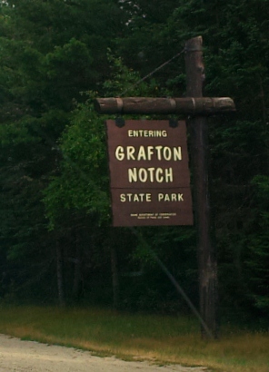
| Southeast of Umbagog, we came to the Grafton Notch. |
 |
| We stopped at a pull out that gave us some information about the area. |


No comments:
Post a Comment