Monday 7/9/2012
 |
| After getting our Nest across the street to the Guaranty Service Center, we took off for a day drive along the McKenzie River. We passed several vineyards. |
 |
| The Goodpasture Bridge is the second longest covered bridge in Oregon. It is also one of the most photographed covered bridge in Oregon. |
 |
| There are ten Gothic style louvered windows on each side. The windows were built to allow light into the long covered structure so drivers could see oncoming traffic. |
 |
| During the Christmas season, the bridge is hung with decorations, attracting many winter visitors |
 |
| The McKenzie River water is very clean and clear. |
 |
| Goodpasture Bridge as we head east on Hwy. 126. |
 |
| We found a sign directing us off of Hwy. 126 to the Cougar Reservoir. |
 |
| A Temperature Control Tower was built on the Cougar Reservoir to produce warmer water below the dam. |
 |
| Cougar Dam on the reservoir side. |
 |
| Cougar Dam on the top end of the other side. |
 |
| Looking down the dam. |
 |
| We got back to Hwy. 126 and continued east for a while, until we came to this sign. We turned left onto Hwy 242 for 6 1/2 miles on the McKenzie Pass-Santiam Pass Scenic Byway. |
 |
| The Willamette National Forest |
 |
| We stopped at the Proxy Falls Trailhead for a hike. |
 |
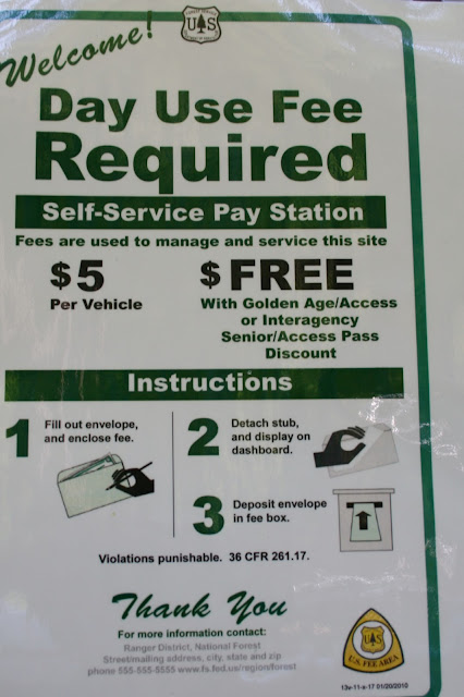
| We got in free with our Interagency Pass. |
 |
| The trail is a 1 and 1/4 mile loop trail. |
 |
| It takes you through dense forest and |
 |
| lava bed. |
 |
| We had Mallery with us. She enjoyed the shade and helped her mom by doing some walking on her own. |
 |
| Proxy Falls is much more impressive than in these pictures. |
 |
| It has a Vail of 226 feet in two streams. |
 |
| At the base of the fall was this large pond. We could not find where the water was left. |
 |
| I had climbed over trying to get a better shot of the waterfall, but no such luck. I took a picture of Joe and the pond instead. |
 |
| Shooting a picture across the pond. We decided there must be an underground stream that empties the waterfall and pond. |
 |
| We headed back to the car. |


No comments:
Post a Comment